Recent Projects
Data Analysis
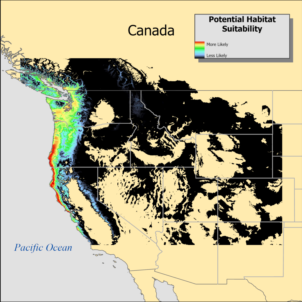
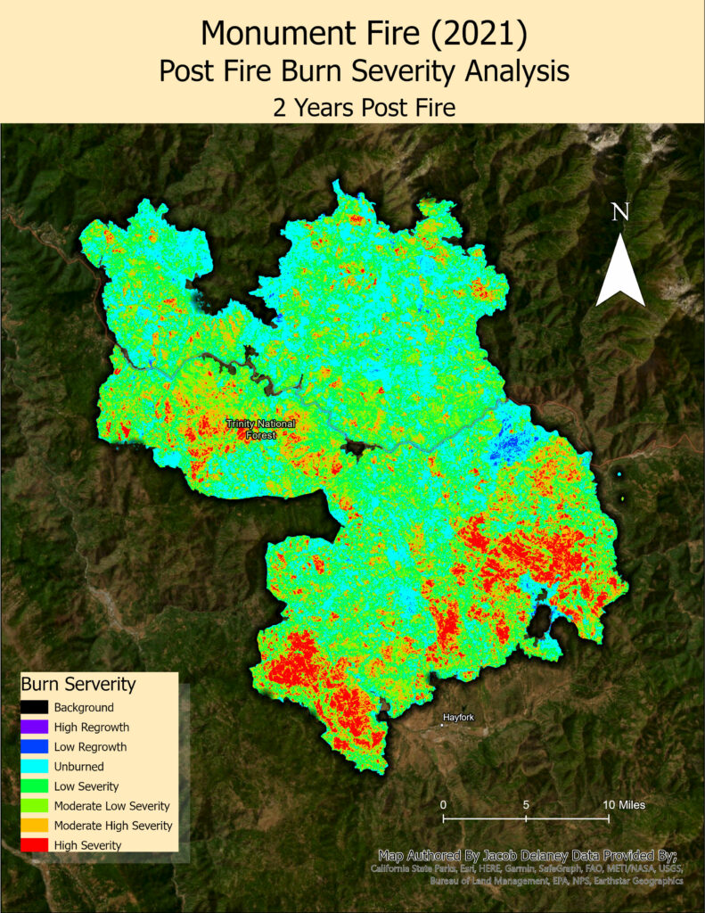
Geospatial analysis is a versatile method that utilizes geographic data to acquire knowledge and make informed decisions across various domains. It entails employing spatial information to tackle complex challenges, such as predicting habitats of species, evaluating fire burn severity, optimizing transportation networks, among others.


Cartography and General GIS
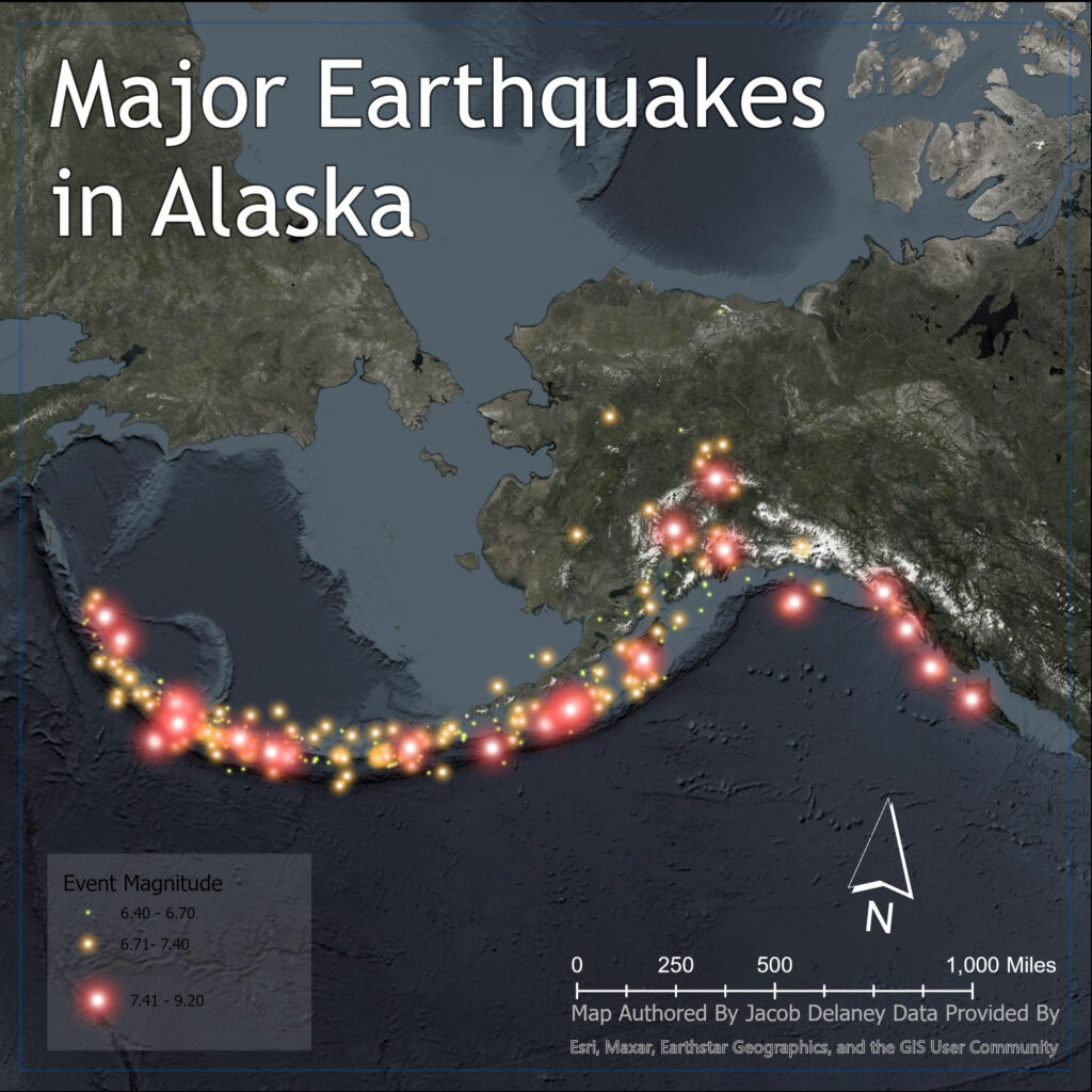
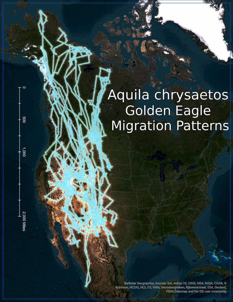
Application of the science and art of creating maps, charts, and visual representations of geographic information. I am experienced in designing, interpreting, and communicating spatial data, enabling people to understand and navigate the world’s physical and human landscapes.


Programming
Experienced in harnessing programming languages like Python and R to deliver strategic solutions for geospatial challenges. Specialized in automating complex geospatial workflows, developing custom spatial analysis tools, and optimizing data processes.

TALK TO ME!
Have any questions? I am always open to discussing your business, new projects, creative opportunities, and how I can help you.
